Boston's Map, Explained
Daniel Steiner・17 minutes read
Boston's unique map has evolved significantly over time, with experts Nancy and Ed highlighting its distinctive land-making processes. The city lacks a clear street pattern seen in most Western cities, with landmarks like Beacon Hill and Back Bay showcasing the impact of historical development on its current layout.
Insights
- Boston's map has undergone significant transformations over time, resulting in a unique layout lacking the typical street grid seen in most Western cities.
- The development of Boston's map is intricately tied to extensive land-making processes, with distinct areas like the North End, downtown, Beacon Hill, and Back Bay shaped by these projects, highlighting the city's historical and geographical evolution.
Get key ideas from YouTube videos. It’s free
Recent questions
How has Boston's map evolved over time?
Boston's map has drastically changed over time, with extensive land-making processes shaping the city's layout. Unlike other Western cities with clear street patterns, Boston lacks a discernible structure due to its unique history of development. Initial settlements on the Shawmut Peninsula, such as the North End and downtown areas, were connected by roads and wharves. Land-making projects altered topographies, like Beacon Hill's rectilinear street pattern, and Back Bay's design mimicked Parisian boulevards. However, issues like street widenings post-fire and the construction of the Central Artery led to the costly Big Dig project, impacting the city's map evolution.
What distinguishes Boston's map from other US cities?
Boston's map stands out from other US cities due to its extensive land-making processes and lack of a clear street pattern. Unlike most Western cities with structured layouts, Boston's map has evolved over time through landfill and land reclamation projects. Initial settlements on the Shawmut Peninsula were connected by roads and wharves, shaping the city's unique geography. Land-making projects like those in Beacon Hill and Back Bay further differentiate Boston's map from other American cities, creating a distinct urban landscape.
Who were the experts providing insights into Boston's map history?
Two experts, Nancy and Ed, offered valuable insights into Boston's map history and development. Nancy emphasized the distinction between landfill and land reclamation, preferring the term "land-making" to describe the city's unique geography. Ed likely contributed expertise on the historical context of Boston's map evolution, shedding light on the city's extensive land-making processes and lack of a discernible street pattern. Their combined knowledge likely provided a comprehensive understanding of Boston's map history.
What challenges did Boston face in its map development?
Boston faced challenges in its map development, particularly related to land-making projects and urban planning decisions. The construction of the Long Wharf addressed issues posed by tidal flats, aiding in ship unloading and trade. However, the city's lack of integration with the grid system, as seen in Back Bay's design oversight, led to disconnects between neighborhoods. Additionally, post-fire street widenings and the construction of the Central Artery caused traffic issues, eventually necessitating the costly Big Dig project to move the highway underground and create the Rose Kennedy Greenway park.
How did Boston's map history influence its urban landscape?
Boston's map history significantly influenced its urban landscape, shaping the city's unique geography and layout. Land-making projects, initial settlements on the Shawmut Peninsula, and the development of areas like the North End and downtown contributed to Boston's distinct map evolution. The alteration of topographies in neighborhoods like Beacon Hill and Back Bay, alongside challenges like street widenings post-fire and the construction of the Central Artery, impacted the city's urban landscape. The costly Big Dig project further transformed Boston's map history, highlighting the city's ongoing evolution in response to urban planning challenges.
Related videos
TED
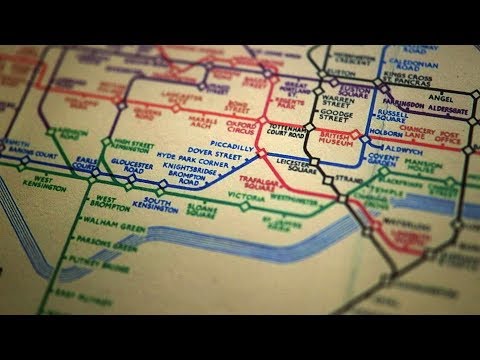
The genius of the London Tube Map | Small Thing Big Idea, a TED series

CrashCourse
How Are Cities Organized? Crash Course Geography #46

Big Beak Entertainment
Fallout 4 is great and I'm tired of pretending it's not

Jay Foreman
The Tube Map nearly looked very different
Not Just Bikes
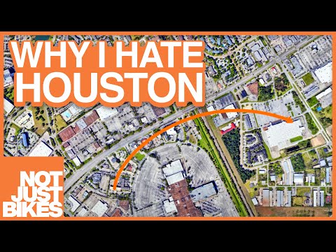
Why City Design is Important (and why I hate Houston)


Summary
00:00
Boston's Evolving Map: A Unique History
- Boston's map has drastically changed over time, making it unrecognizable compared to early maps.
- Boston has undergone extensive land-making processes, unlike any other city in the United States.
- The narrator, having lived in New York and DC, is excited to explore Boston's unique map.
- Most Western cities have a clear street pattern, unlike Boston, which lacks a discernible structure.
- Two experts, Nancy and Ed, provide insights into Boston's map history and development.
- Boston's initial settlement was on the Shawmut Peninsula, with a road connecting it to the mainland.
- The North End and downtown areas were among the earliest settlements in Boston.
- The Long Wharf was built to address challenges posed by tidal flats, aiding in ship unloading.
- Nancy emphasizes the distinction between landfill and land reclamation, preferring the term "land-making."
- Beacon Hill's topography was altered through land-making projects, leading to a rectilinear street pattern.
14:42
Boston's Back Bay: Parisian Design, Urban Integration
- Back Bay in Boston is designed based on Parisian boulevards, with fancy English-sounding names for streets to appeal to the upper class, alongside public alleys primarily used by servicemen for building access and garbage disposal. However, the neighborhood's connection to the rest of the city was overlooked during its construction, leading to a lack of integration with the city's grid system.
- A significant fire in Boston, following the Great Chicago Fire, led to street widenings due to narrow roads facilitating the fire's spread. The construction of the Central Artery, dividing neighborhoods and causing traffic issues, eventually led to the costly Big Dig project, moving the elevated highway underground and creating the Rose Kennedy Greenway park above ground.


