Angkor Wat (Full Episode) | Access 360 World Heritage
National Geographic・13 minutes read
Angkor Wat, once part of the largest city on earth, is now being mapped by aerial archaeologist Damian Evans using new technology like lasers to reveal hidden landmarks. The team is decoding ruins, saving temples, and studying patterns to understand the city's function and collapse, with the Khmer Empire's demise attributed to a mega-drought despite their advanced water management system.
Insights
- Damian Evans utilizes cutting-edge technology like lasers on helicopters to map the ruins of the lost city of Angkor, revealing hidden urban boundaries and landmarks beneath the jungle.
- The collapse of the Khmer Empire, which housed the largest settlement complex pre-industrial revolution, was triggered by a mega-drought despite the empire's success being attributed to their advanced water management system.
Get key ideas from YouTube videos. It’s free
Recent questions
What is Angkor Wat and its significance?
Angkor Wat is part of the Angkor World Heritage Site, once the largest city on earth that has now vanished. It holds historical and cultural importance as a remnant of a once thriving civilization.
How does Damian Evans map the ruins of Angkor?
Damian Evans, an aerial archaeologist, uses new technology like lasers mounted on helicopters to map the ruins of the lost city of Angkor. This advanced technology helps trace urban boundaries and landmarks hidden beneath the jungle.
Why did the city of Angkor collapse?
The team studying Angkor searches for patterns to understand how the city functioned and why it collapsed. Factors such as environmental changes, including a mega-drought, played a role in the downfall of this once flourishing city.
What structures have been revealed in Angkor?
Scott Hawkins decodes ruins in Angkor to reveal structures that disappeared over time, such as temples and canals. Through his work, hidden architectural wonders are brought to light.
How are fragile temples in Angkor being preserved?
The team working in Angkor is dedicated to saving fragile temples from collapsing due to water damage. Restoration efforts involve removing ancient sandstone blocks to install a new laterite foundation, ensuring the preservation of these historical sites for future generations.
Related videos

Get.factual
Angkor Wat: The Ancient Chronicles of Cambodia's Stone Giant | Full Documentary
Timeline - World History Documentaries
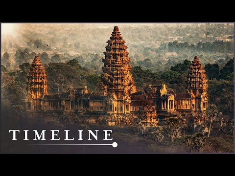
Angkor Wat: The Ancient Mystery Of Cambodia’s Lost Capital | The City Of God Kings | Timeline
Fall of Civilizations
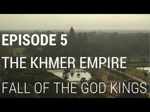
5. The Khmer Empire - Fall of the God Kings
CNA Insider
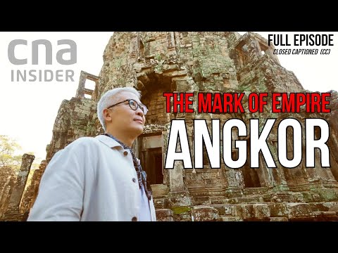
Cambodia's Temple Kingdom | The Mark Of Empire | Angkor
National Geographic
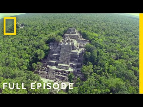
Lost World of the Maya (Full Episode) | National Geographic


Summary
00:00
Mapping Lost Angkor: Uncovering Ancient Mysteries
- Angkor Wat is part of the Angkor World Heritage Site, once the largest city on earth, now vanished.
- Damian Evans, an aerial archaeologist, uses new technology to map the ruins of the lost city of Angkor.
- New technologies like lasers mounted on helicopters help trace urban boundaries and landmarks hidden beneath the jungle.
- Ancient Angkor was the largest settlement complex in human history before the industrial revolution.
- The team searches for patterns to understand how the city functioned and why it collapsed.
- Scott Hawkins decodes ruins to reveal structures that disappeared, like temples and canals.
- The team works to save fragile temples from collapsing due to water damage.
- Restoration involves removing ancient sandstone blocks to install a new laterite foundation.
- The Khmer Empire's success was due to their advanced water management system, but a mega-drought led to its collapse.


